 Add to Chrome
 Add to Firefox
 Add to Edge
Hilti-Trimble-Oxford Dataset: 360 Visual-Inertial Benchmark with Floor Plan Priors for SLAM and Localization
Jul 07, 2026
Automated progress monitoring on construction sites is an active area of research and development. Robot and human-carried mapping systems have been developed to build 3D maps of building and infrastructure projects. While LiDAR-based mapping systems achieve high accuracy, the cost of LiDAR can be prohibitive. Consumer-grade cameras with wide field of view ("360 cameras") combined with embedded inertial measurement units (IMUs) provide a cost-effective alternative. To support change detection and progress monitoring, highly accurate visual Simultaneous Localization and Mapping (SLAM) and floor plan-referenced localization systems are required. In this paper we present a high-quality dataset collected at an active construction site, which captures realistic challenges such as variable lighting conditions, moving workers, fast motions, and repetitive structures. The dataset offers thirty visual-inertial sequences recorded across seven floors over an eight-month period of the construction project. Ground truth trajectories were collected using a high quality LiDAR-inertial SLAM system rigidly attached to the 360 camera. Additionally, we report the results of an open research challenge evaluating the best visual SLAM and localization systems from around the world. The Challenge attracted substantially higher participation in SLAM, with 62 teams compared to 22 in floor-plan-referenced localization, reflecting the broader maturity of SLAM methods. The higher errors in localization further highlight the difficulty of this task in construction and point to the need for continued research, which this dataset is intended to support. The dataset and the benchmark are publicly available at: https://hilti-trimble-challenge.com/dataset-2026.

Hilti-Oxford Dataset: A Millimetre-Accurate Benchmark for Simultaneous Localization and Mapping
Aug 21, 2022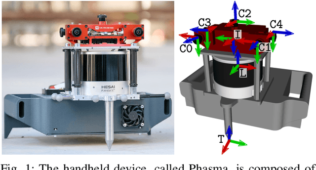

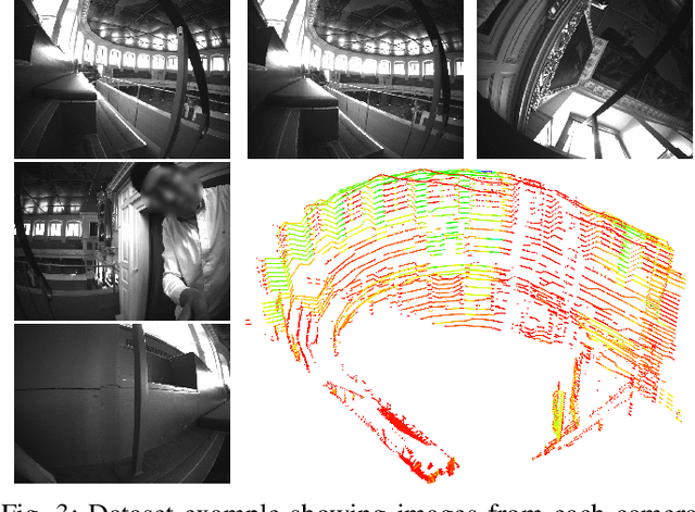
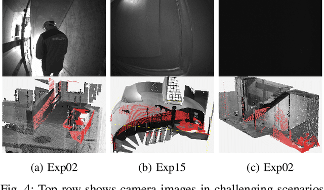
Simultaneous Localization and Mapping (SLAM) is being deployed in real-world applications, however many state-of-the-art solutions still struggle in many common scenarios. A key necessity in progressing SLAM research is the availability of high-quality datasets and fair and transparent benchmarking. To this end, we have created the Hilti-Oxford Dataset, to push state-of-the-art SLAM systems to their limits. The dataset has a variety of challenges ranging from sparse and regular construction sites to a 17th century neoclassical building with fine details and curved surfaces. To encourage multi-modal SLAM approaches, we designed a data collection platform featuring a lidar, five cameras, and an IMU (Inertial Measurement Unit). With the goal of benchmarking SLAM algorithms for tasks where accuracy and robustness are paramount, we implemented a novel ground truth collection method that enables our dataset to accurately measure SLAM pose errors with millimeter accuracy. To further ensure accuracy, the extrinsics of our platform were verified with a micrometer-accurate scanner, and temporal calibration was managed online using hardware time synchronization. The multi-modality and diversity of our dataset attracted a large field of academic and industrial researchers to enter the second edition of the Hilti SLAM challenge, which concluded in June 2022. The results of the challenge show that while the top three teams could achieve accuracy of 2cm or better for some sequences, the performance dropped off in more difficult sequences.
The Hilti SLAM Challenge Dataset
Sep 23, 2021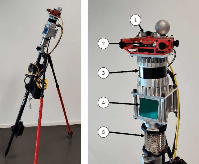
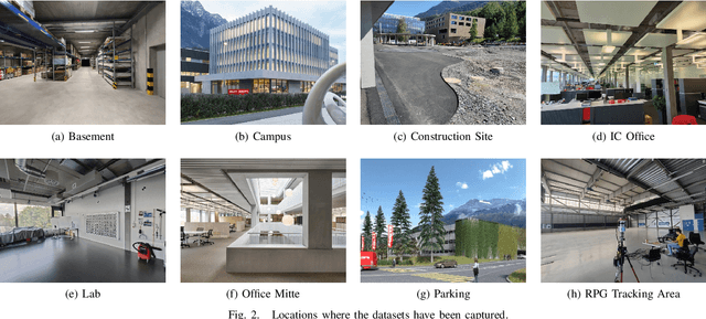
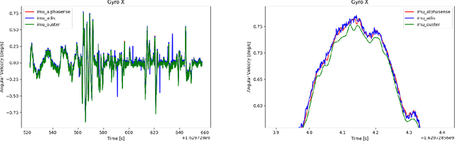
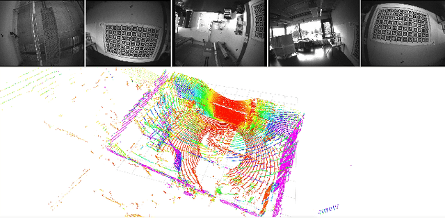
Accurate and robust pose estimation is a fundamental capability for autonomous systems to navigate, map and perform tasks. Particularly, construction environments pose challenging problem to Simultaneous Localization and Mapping (SLAM) algorithms due to sparsity, varying illumination conditions, and dynamic objects. Current academic research in SLAM is focused on developing more accurate and robust algorithms for example by fusing different sensor modalities. To help this research, we propose a new dataset, the Hilti SLAM Challenge Dataset. The sensor platform used to collect this dataset contains a number of visual, lidar and inertial sensors which have all been rigorously calibrated. All data is temporally aligned to support precise multi-sensor fusion. Each dataset includes accurate ground truth to allow direct testing of SLAM results. Raw data as well as intrinsic and extrinsic sensor calibration data from twelve datasets in various environments is provided. Each environment represents common scenarios found in building construction sites in various stages of completion.