 Add to Chrome
 Add to Firefox
 Add to Edge
Vision-Language Navigation for Aerial Robots: Towards the Era of Large Language Models
Apr 09, 2026
Aerial vision-and-language navigation (Aerial VLN) aims to enable unmanned aerial vehicles (UAVs) to interpret natural language instructions and autonomously navigate complex three-dimensional environments by grounding language in visual perception. This survey provides a critical and analytical review of the Aerial VLN field, with particular attention to the recent integration of large language models (LLMs) and vision-language models (VLMs). We first formally introduce the Aerial VLN problem and define two interaction paradigms: single-instruction and dialog-based, as foundational axes. We then organize the body of Aerial VLN methods into a taxonomy of five architectural categories: sequence-to-sequence and attention-based methods, end-to-end LLM/VLM methods, hierarchical methods, multi-agent methods, and dialog-based navigation methods. For each category, we systematically analyze design rationales, technical trade-offs, and reported performance. We critically assess the evaluation infrastructure for Aerial VLN, including datasets, simulation platforms, and metrics, and identify their gaps in scale, environmental diversity, real-world grounding, and metric coverage. We consolidate cross-method comparisons on shared benchmarks and analyze key architectural trade-offs, including discrete versus continuous actions, end-to-end versus hierarchical designs, and the simulation-to-reality gap. Finally, we synthesize seven concrete open problems: long-horizon instruction grounding, viewpoint robustness, scalable spatial representation, continuous 6-DoF action execution, onboard deployment, benchmark standardization, and multi-UAV swarm navigation, with specific research directions grounded in the evidence presented throughout the survey.

RAVES-Calib: Robust, Accurate and Versatile Extrinsic Self Calibration Using Optimal Geometric Features
Dec 09, 2025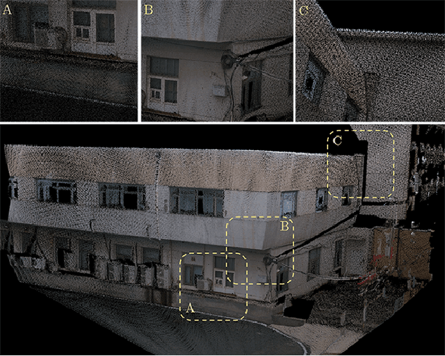
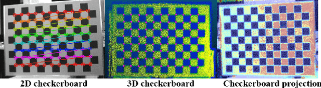
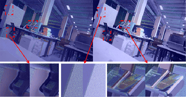
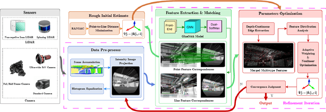
In this paper, we present a user-friendly LiDAR-camera calibration toolkit that is compatible with various LiDAR and camera sensors and requires only a single pair of laser points and a camera image in targetless environments. Our approach eliminates the need for an initial transform and remains robust even with large positional and rotational LiDAR-camera extrinsic parameters. We employ the Gluestick pipeline to establish 2D-3D point and line feature correspondences for a robust and automatic initial guess. To enhance accuracy, we quantitatively analyze the impact of feature distribution on calibration results and adaptively weight the cost of each feature based on these metrics. As a result, extrinsic parameters are optimized by filtering out the adverse effects of inferior features. We validated our method through extensive experiments across various LiDAR-camera sensors in both indoor and outdoor settings. The results demonstrate that our method provides superior robustness and accuracy compared to SOTA techniques. Our code is open-sourced on GitHub to benefit the community.