 Add to Chrome
 Add to Firefox
 Add to Edge
WildLIFT: Lifting monocular drone video to 3D for species-agnostic wildlife monitoring
Apr 27, 2026
Monocular RGB cameras mounted on drones are widely used for wildlife monitoring, yet most analytical pipelines remain confined to two-dimensional image space, leaving geometric information in video underexploited. We present WildLIFT, a computational framework that integrates three-dimensional scene geometry from monocular drone video with open-vocabulary 2D instance segmentation to enable species-agnostic 3D detection and tracking. Oriented 3D bounding box labels with semantic face information enable quantitative assessment of viewpoint coverage and inter-animal occlusion, producing structured metadata for downstream ecological analyses. We validate the framework on 2,581 manually curated frames comprising over 6,700 3D detections across four large mammal species. WildLIFT maintains high identity consistency in multi-animal scenes and substantially reduces manual 3D annotation effort through keyframe-based refinement. By transforming standard drone footage into structured 3D and viewpoint-aware representations, WildLIFT extends the analytical utility of aerial wildlife datasets for behavioural research and population monitoring.

Adding Another Dimension to Image-based Animal Detection
Apr 10, 2026Monocular imaging of animals inherently reduces 3D structures to 2D projections. Detection algorithms lead to 2D bounding boxes that lack information about animal's orientation relative to the camera. To build 3D detection methods for RGB animal images, there is a lack of labeled datasets; such labeling processes require 3D input streams along with RGB data. We present a pipeline that utilises Skinned Multi Animal Linear models to estimate 3D bounding boxes and to project them as robust labels into 2D image space using a dedicated camera pose refinement algorithm. To assess which sides of the animal are captured, cuboid face visibility metrics are computed. These 3D bounding boxes and metrics form a crucial step toward developing and benchmarking future monocular 3D animal detection algorithms. We evaluate our method on the Animal3D dataset, demonstrating accurate performance across species and settings.
Exploring the potential of collaborative UAV 3D mapping in Kenyan savanna for wildlife research
Sep 24, 2024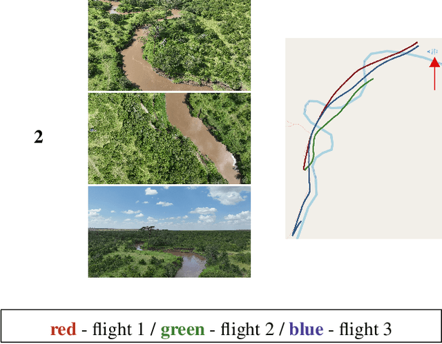
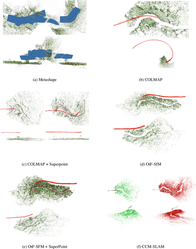
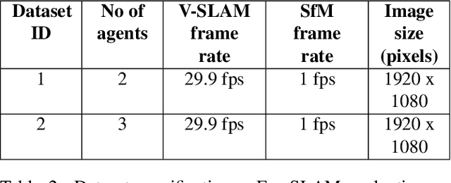
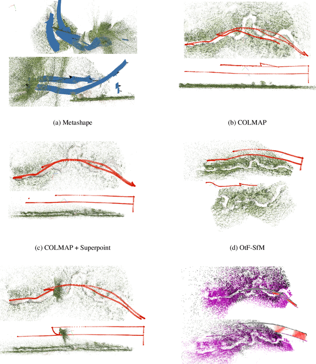
UAV-based biodiversity conservation applications have exhibited many data acquisition advantages for researchers. UAV platforms with embedded data processing hardware can support conservation challenges through 3D habitat mapping, surveillance and monitoring solutions. High-quality real-time scene reconstruction as well as real-time UAV localization can optimize the exploration vs exploitation balance of single or collaborative mission. In this work, we explore the potential of two collaborative frameworks - Visual Simultaneous Localization and Mapping (V-SLAM) and Structure-from-Motion (SfM) for 3D mapping purposes and compare results with standard offline approaches.