 Add to Chrome
 Add to Firefox
 Add to Edge
UAV-MapFusion: RTK-Aligned Uncertainty-Aware Coarse-to-Fine Multi-Session UAV Mapping
Jun 25, 2026
Large-scale point cloud maps are essential for robotics and spatial intelligence tasks. UAVs provide an efficient means for large-scale map acquisition; however, due to limited flight endurance and onboard storage, mapping a large-scale scene within a single flight remains difficult. Existing multi-session map merging methods can extend the mapping range, yet in UAV scenarios they still struggle to simultaneously suppress long-range drift and preserve local geometric accuracy. To address this issue, an uncertainty-aware multi-session point cloud map merging and coarse-to-fine optimization system is proposed. The proposed method first performs initial multi-session map merging based on a scene graph, and then incorporates RTK observations through an RTK spatiotemporal alignment module, where temporal offsets are estimated using Dynamic Time Warping (DTW), and continuous RTK constraints are recovered using Multi-Output Gaussian Processes (MOGP) under incomplete sampling and frame dropouts. On this basis, a unified uncertainty-aware factor graph is constructed, and local geometric accuracy is further improved through iterative plane-factor refinement. Experiments on real-world datasets validate the effectiveness and robustness of the proposed method. To facilitate further research and development in the community, our code and dataset will be publicly released.

FAST-LIVGO: A Degeneracy-Robust LiDAR-Inertial-Visual-GNSS Fusion Odometry
Jun 17, 2026Robust state estimation and mapping in long-term, large-scale, and highly dynamic environments remains a key challenge in robotics. Existing LiDAR-Inertial-Visual Odometry (LIVO) systems achieve strong local accuracy but suffer from accumulated drift over long distances and may fail in geometrically degraded or textureless scenes. Meanwhile, GNSS-aided fusion frameworks often rely on LiDAR or visual odometry for state prediction and outlier rejection, making them vulnerable when odometry degenerates. To address these limitations, we propose a tightly coupled LiDAR-Inertial-Visual-GNSS fusion framework based on an Error-State Iterated Kalman Filter. An online spatiotemporal alignment module using Dynamic Time Warping is introduced for highly dynamic conditions. To better exploit GNSS precision, we develop observation models based on Doppler shifts and fixed-anchor Time-Differenced Carrier Phase, providing millimeter-level relative constraints without augmenting historical anchor states. We further design a degeneracy-aware dual-mode outlier rejection strategy that switches between LIVO-prior-guided rejection and GNSS-aided recovery according to the LIVO degeneracy level. Experiments on the public M3DGR dataset and a custom 20~m/s fixed-wing UAV dataset demonstrate that our system reduces accumulated drift and map ghosting, outperforming state-of-the-art methods in accuracy and robustness.
Label Unbalance in High-frequency Trading
Mar 13, 2025
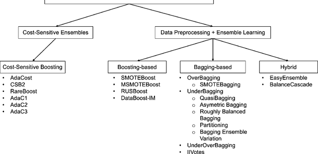
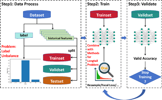
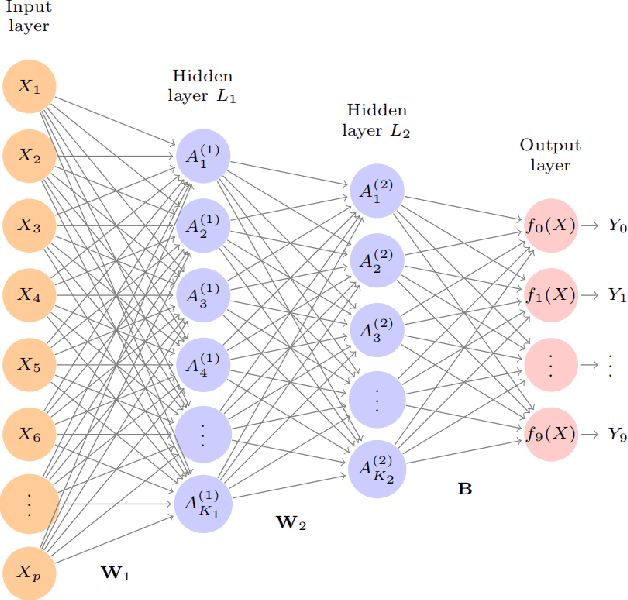
In financial trading, return prediction is one of the foundation for a successful trading system. By the fast development of the deep learning in various areas such as graphical processing, natural language, it has also demonstrate significant edge in handling with financial data. While the success of the deep learning relies on huge amount of labeled sample, labeling each time/event as profitable or unprofitable, under the transaction cost, especially in the high-frequency trading world, suffers from serious label imbalance issue.In this paper, we adopts rigurious end-to-end deep learning framework with comprehensive label imbalance adjustment methods and succeed in predicting in high-frequency return in the Chinese future market. The code for our method is publicly available at https://github.com/RS2002/Label-Unbalance-in-High-Frequency-Trading .