 Add to Chrome
 Add to Firefox
 Add to Edge
Mapping Pamir: Multi-Session Visual-Inertial SLAM and 3D Reconstruction of an Underwater Shipwreck
Jul 12, 2026
This paper presents a framework for multi-session mapping of underwater environments utilizing an affordable action camera. The Visual-Inertial data are augmented by water depth recordings from a dive computer. SVIn2, an open-source VI-SLAM framework, is utilized to generate a trajectory and a sparse reconstruction for each session. Utilizing the keyframes extracted from SVIn2 and the estimated camera poses, a Structure-from-Motion (SfM) framework, COLMAP, is employed for global optimization and to produce a dense reconstruction of the target environment. The presence of calibration targets at fixed locations, when available, is used to estimate the coordinate transformation between different data collection sessions, thus transforming the different sessions into the same coordinate frame. The proposed pipeline is employed for the mapping of a shipwreck off the coast of Barbados. For the first time, both the exterior and the accessible interior parts of the wreck were mapped in two sessions, while a third session employed two cameras with different fields of view.

Mapping the Catacombs: An Underwater Cave Segment of the Devil's Eye System
Jul 08, 2025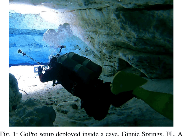
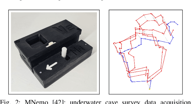
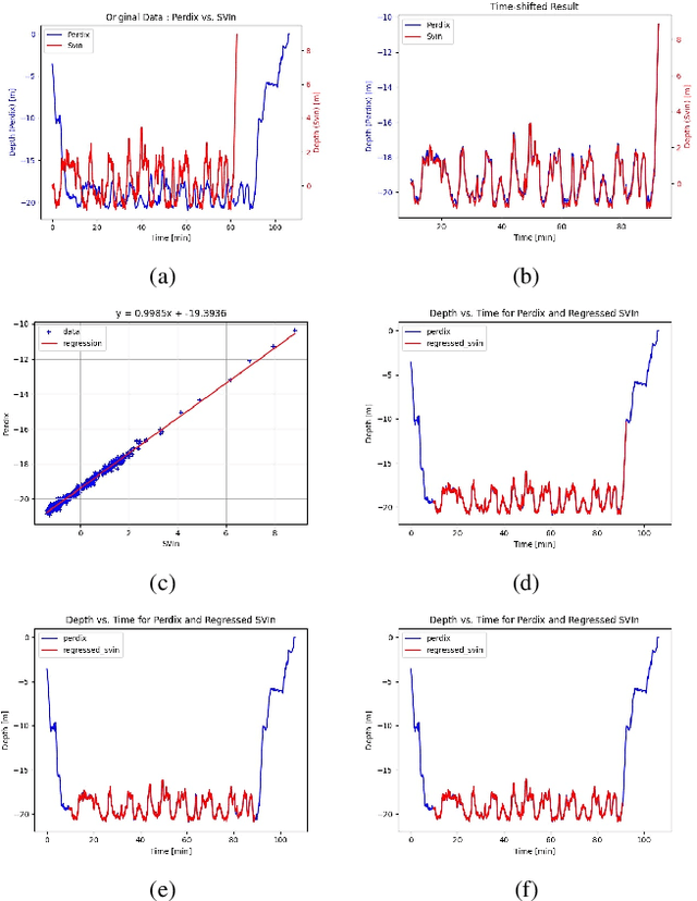
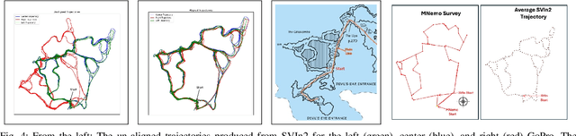
This paper presents a framework for mapping underwater caves. Underwater caves are crucial for fresh water resource management, underwater archaeology, and hydrogeology. Mapping the cave's outline and dimensions, as well as creating photorealistic 3D maps, is critical for enabling a better understanding of this underwater domain. In this paper, we present the mapping of an underwater cave segment (the catacombs) of the Devil's Eye cave system at Ginnie Springs, FL. We utilized a set of inexpensive action cameras in conjunction with a dive computer to estimate the trajectories of the cameras together with a sparse point cloud. The resulting reconstructions are utilized to produce a one-dimensional retract of the cave passages in the form of the average trajectory together with the boundaries (top, bottom, left, and right). The use of the dive computer enables the observability of the z-dimension in addition to the roll and pitch in a visual/inertial framework (SVIn2). In addition, the keyframes generated by SVIn2 together with the estimated camera poses for select areas are used as input to a global optimization (bundle adjustment) framework -- COLMAP -- in order to produce a dense reconstruction of those areas. The same cave segment is manually surveyed using the MNemo V2 instrument, providing an additional set of measurements validating the proposed approach. It is worth noting that with the use of action cameras, the primary components of a cave map can be constructed. Furthermore, with the utilization of a global optimization framework guided by the results of VI-SLAM package SVIn2, photorealistic dense 3D representations of selected areas can be reconstructed.