 Add to Chrome
 Add to Firefox
 Add to Edge
Follow the Norm: Accounting for Fine-Tuning and Prompt Effects on Model Rationales
Aug 13, 2026
Normative datasets are often used to train and align AI systems, but the norms they contain can function as action-guiding patterns rather than neutral moral knowledge. We propose treating the AI system as a proxy actor and test whether dataset-level norms can shift it away from its baseline safety behavior when it faces high-conflict dilemmas. We make three contributions. First, we demonstrate in controlled experiments that norm-breaking fine-tuning yields norm-divergent actions justified by self-interested rationales, suggesting a systematic shift in patterns of justification. Second, we establish a practical audit trail linking downstream justifications to upstream norms using mixed methods. Third, we show that system prompts can both suppress and elicit these patterns. We conducted experiments on three models (LLaMA-3.2-11B, Qwen-3.5-9B, and Pixtral-12B) using Low-Rank Adaptation (LoRA) fine-tuning on Social Chemistry 101 Fairness/Cheating (norm-following vs. norm-breaking) with prompt steering. Across all three models, we find that norm-breaking fine-tuning shifts the model's default rationale style from safety compliance to instrumental self-interest, whereas system prompts can override this behavior. Our results support a distributed view of alignment in which observed behavior depends jointly on training data, fine-tuning, and prompting, motivating norm-aware documentation and rationale logging for contestable oversight.

Favelas 4D: Scalable methods for morphology analysis of informal settlements using terrestrial laser scanning data
Apr 23, 2021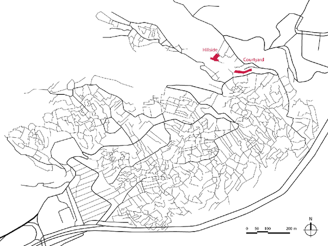
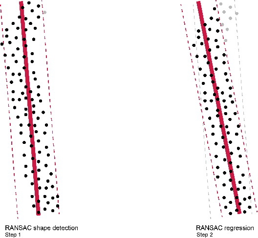
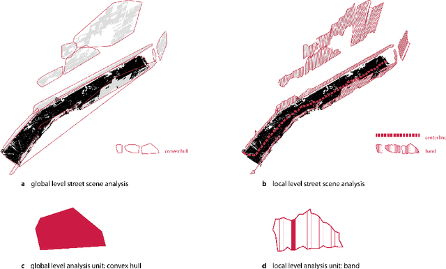
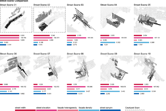
One billion people live in informal settlements worldwide. The complex and multilayered spaces that characterize this unplanned form of urbanization pose a challenge to traditional approaches to mapping and morphological analysis. This study proposes a methodology to study the morphological properties of informal settlements based on terrestrial LiDAR (Light Detection and Ranging) data collected in Rocinha, the largest favela in Rio de Janeiro, Brazil. Our analysis operates at two resolutions, including a \emph{global} analysis focused on comparing different streets of the favela to one another, and a \emph{local} analysis unpacking the variation of morphological metrics within streets. We show that our methodology reveals meaningful differences and commonalities both in terms of the global morphological characteristics across streets and their local distributions. Finally, we create morphological maps at high spatial resolution from LiDAR data, which can inform urban planning assessments of concerns related to crowding, structural safety, air quality, and accessibility in the favela. The methods for this study are automated and can be easily scaled to analyze entire informal settlements, leveraging the increasing availability of inexpensive LiDAR scanners on portable devices such as cellphones.