 Add to Chrome
 Add to Firefox
 Add to Edge
Seeing above the waves: A modular sensing framework for data acquisition at sea
Aug 11, 2026
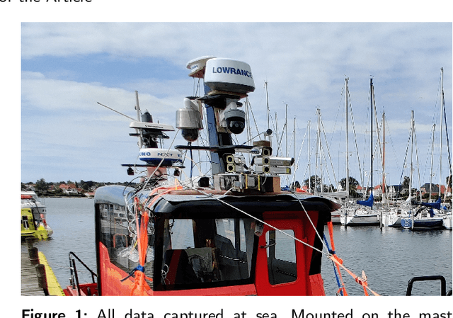
Advancing autonomy for surface vessels requires systematic evaluation of their sensing and perception subsystems. Yet, maritime environments impose unique challenges: sensor installation is constrained by vessel layout, environmental conditions such as fog or sea clutter are difficult to reproduce, and long-duration missions complicate data collection. This work addresses the question: How can we design a modular and reproducible sensor platform for maritime autonomy? We present a comprehensive design blueprint that incorporates diverse modalities - RADAR, LiDAR, IMU, GNSS, AIS, RGB and LWIR cameras, and weather sensors - to enhance environmental awareness and vessel proprioception. Supported by a dedicated ROS2-based software framework for data management, our modular platform enables long-term data collection, hardware-in-the-loop testing, and integration with existing sensors and algorithms. By unifying hardware design and data capture methodology, the platform enhances reproducibility and comparability across vessels and research projects. The proposed framework bridges engineering implementation and research methodology, providing the foundation for standardized, verifiable datasets essential to advancing situational awareness and autonomous maritime navigation.

Multimodal and Multiview Deep Fusion for Autonomous Marine Navigation
May 02, 2025


We propose a cross attention transformer based method for multimodal sensor fusion to build a birds eye view of a vessels surroundings supporting safer autonomous marine navigation. The model deeply fuses multiview RGB and long wave infrared images with sparse LiDAR point clouds. Training also integrates X band radar and electronic chart data to inform predictions. The resulting view provides a detailed reliable scene representation improving navigational accuracy and robustness. Real world sea trials confirm the methods effectiveness even in adverse weather and complex maritime settings.
Cyber-resilience for marine navigation by information fusion and change detection
Feb 01, 2022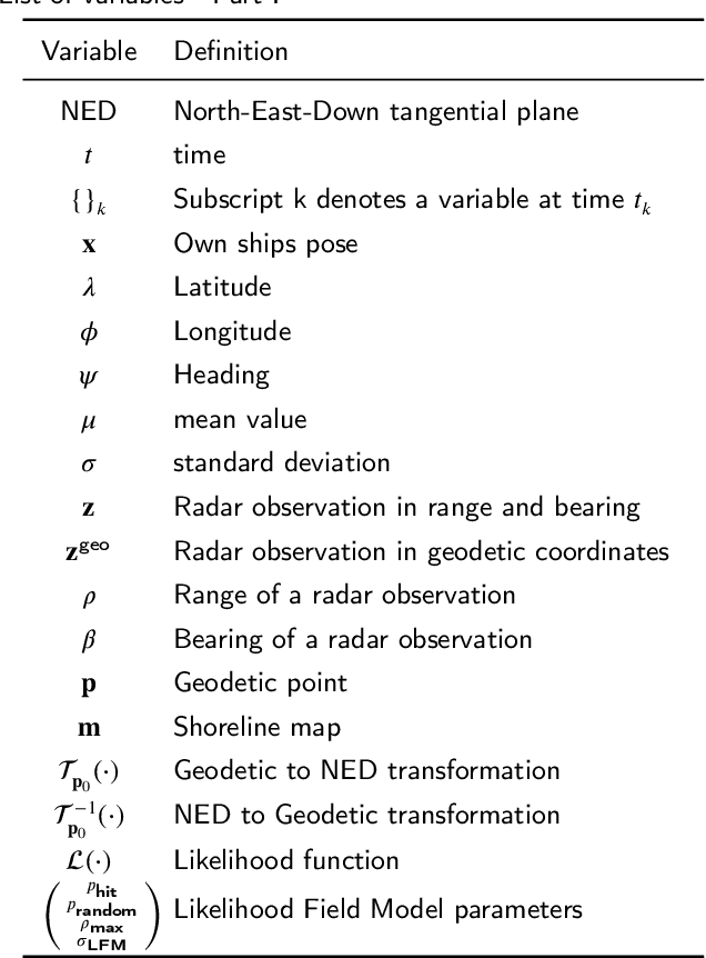
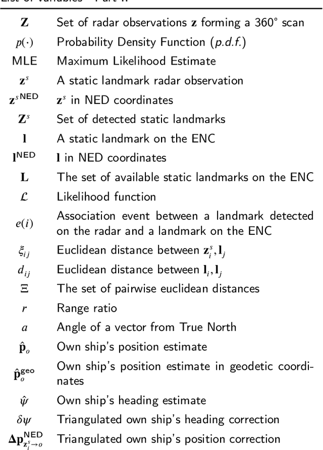
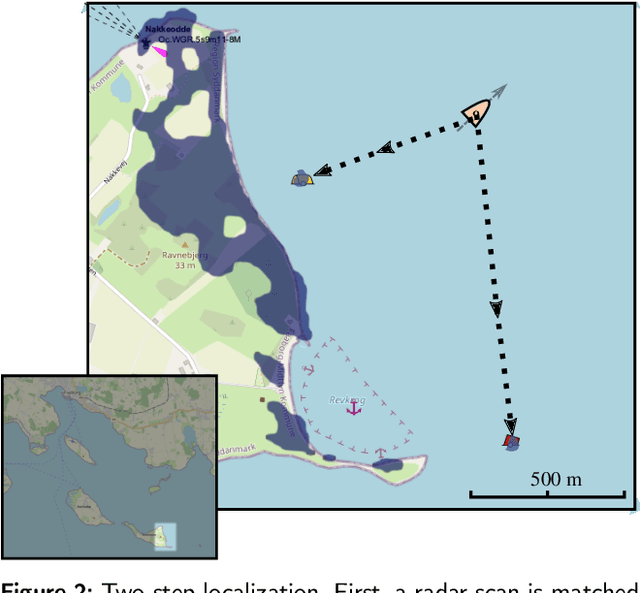
Cyber-resilience is an increasing concern in developing autonomous navigation solutions for marine vessels. This paper scrutinizes cyber-resilience properties of marine navigation through a prism with three edges: multiple sensor information fusion, diagnosis of not-normal behaviours, and change detection. It proposes a two-stage estimator for diagnosis and mitigation of sensor signals used for coastal navigation. Developing a Likelihood Field approach, a first stage extracts shoreline features from radar and matches them to the electronic navigation chart. A second stage associates buoy and beacon features from the radar with chart information. Using real data logged at sea tests combined with simulated spoofing, the paper verifies the ability to timely diagnose and isolate an attempt to compromise position measurements. A new approach is suggested for high level processing of received data to evaluate their consistency, that is agnostic to the underlying technology of the individual sensory input. A combined parametric Gaussian modelling and Kernel Density Estimation is suggested and compared with a generalized likelihood ratio change detector that uses sliding windows. The paper shows how deviations from nominal behaviour and isolation of the components is possible when under attack or when defects in sensors occur.