 Add to Chrome
 Add to Firefox
 Add to Edge
A Coarse-to-Fine Approach for Urban Land Use Mapping Based on Multisource Geospatial Data
Paper and Code
Aug 18, 2022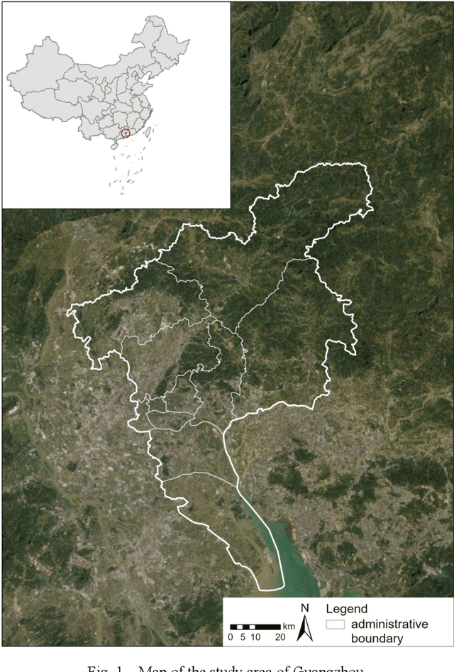
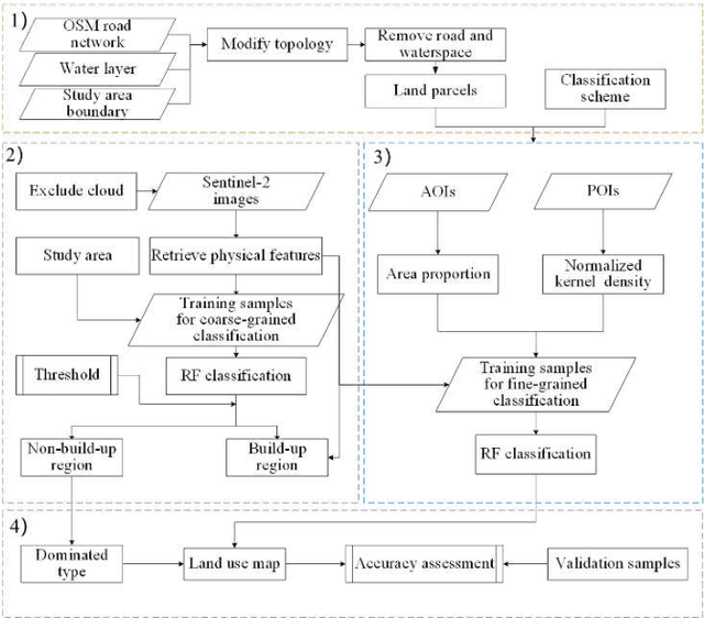
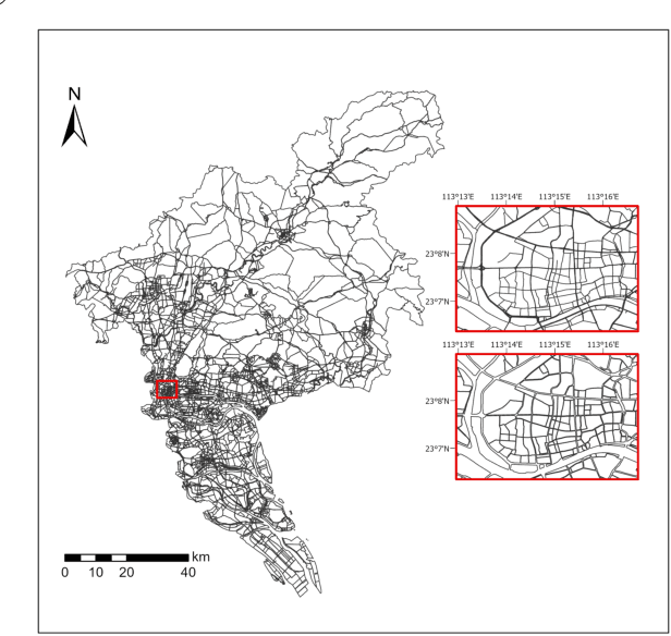
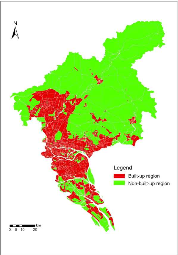
Timely and accurate land use mapping is a long-standing problem, which is critical for effective land and space planning and management. Due to complex and mixed use, it is challenging for accurate land use mapping from widely-used remote sensing images (RSI) directly, especially for high-density cities. To address this issue, in this paper, we propose a coarse-to-fine machine learning-based approach for parcel-level urban land use mapping, integrating multisource geospatial data, including RSI, points-of-interest (POI), and area-of-interest (AOI) data. Specifically, we first divide the city into built-up and non-built-up regions based on parcels generated from road networks. Then, we adopt different classification strategies for parcels in different regions, and finally combine the classified results into an integrated land use map. The results show that the proposed approach can significantly outperform baseline method that mixes built-up and non-built-up regions, with accuracy increase of 25% and 30% for level-1 and level-2 classification, respectively. In addition, we examine the rarely explored AOI data, which can further boost the level-1 and level-2 classification accuracy by 13% and 14%. These results demonstrate the effectiveness of the proposed approach and also indicate the usefulness of AOIs for land use mapping, which are valuable for further studies.