 Add to Chrome
 Add to Firefox
 Add to Edge
Utilizing Satellite Imagery Datasets and Machine Learning Data Models to Evaluate Infrastructure Change in Undeveloped Regions
Paper and Code
Sep 01, 2020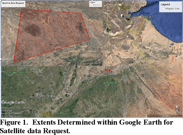

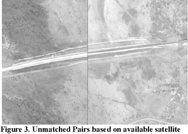
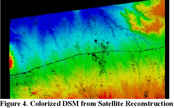
In the globalized economic world, it has become important to understand the purpose behind infrastructural and construction initiatives occurring within developing regions of the earth. This is critical when the financing for such projects must be coming from external sources, as is occurring throughout major portions of the African continent. When it comes to imagery analysis to research these regions, ground and aerial coverage is either non-existent or not commonly acquired. However, imagery from a large number of commercial, private, and government satellites have produced enormous datasets with global coverage, compiling geospatial resources that can be mined and processed using machine learning algorithms and neural networks. The downside is that a majority of these geospatial data resources are in a state of technical stasis, as it is difficult to quickly parse and determine a plan for request and processing when acquiring satellite image data. A goal of this research is to allow automated monitoring for largescale infrastructure projects, such as railways, to determine reliable metrics that define and predict the direction construction initiatives could take, allowing for a directed monitoring via narrowed and targeted satellite imagery requests. By utilizing photogrammetric techniques on available satellite data to create 3D Meshes and Digital Surface Models (DSM) we hope to effectively predict transport routes. In understanding the potential directions that largescale transport infrastructure will take through predictive modeling, it becomes much easier to track, understand, and monitor progress, especially in areas with limited imagery coverage.