Get our free extension to see links to code for papers anywhere online!Free add-on: code for papers everywhere!Free add-on: See code for papers anywhere!
 Add to Chrome
 Add to Firefox
 Add to Edge
Evaluating Urbanization from Satellite and Aerial Images by means of a statistical approach to the texture analysis
Paper and Code
Nov 10, 2016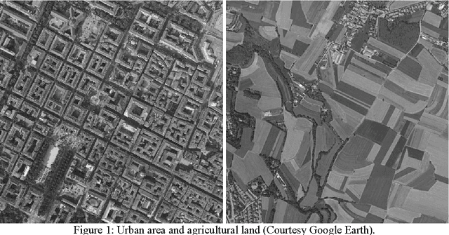

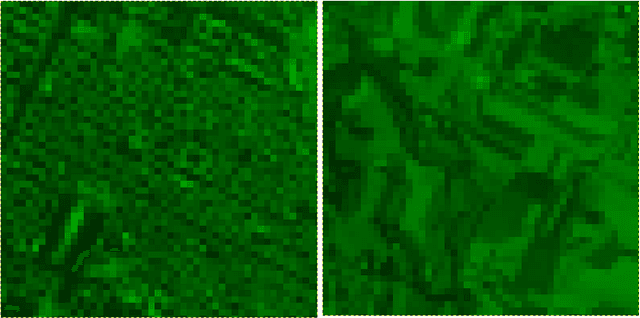

Statistical methods are usually applied in the processing of digital images for the analysis of the textures displayed by them. Aiming to evaluate the urbanization of a given location from satellite or aerial images, here we consider a simple processing to distinguish in them the 'urban' from the 'rural' texture. The method is based on the mean values and the standard deviations of the colour tones of image pixels. The processing of the input images allows to obtain some maps from which a quantitative evaluation of the textures can be obtained.
* Keywords: Image analysis, 2D textures; texture functions, satellite
images, aerial images
View paper on